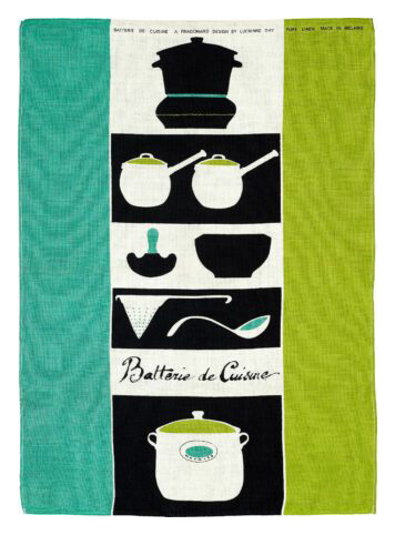
Batterie de Cuisine By Lucienne Day
WEBSITE FRAMING SERVICE
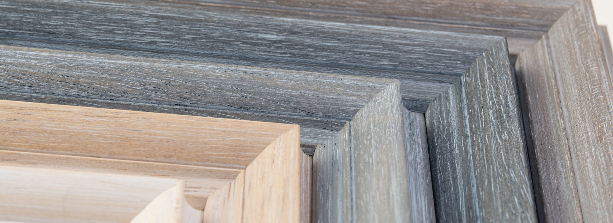
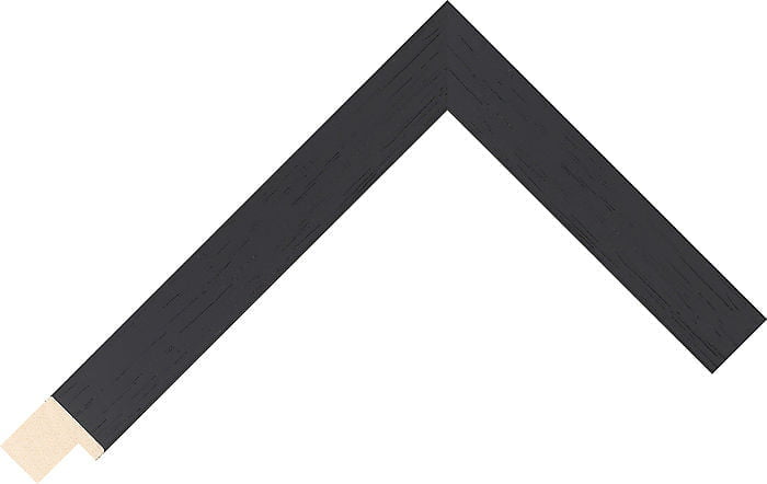
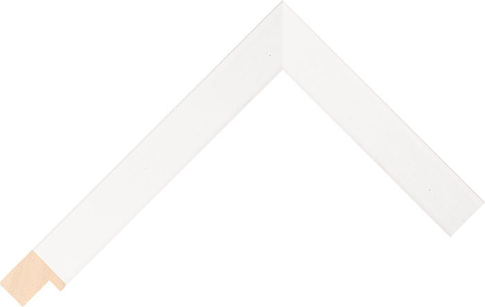
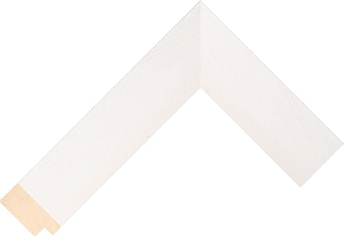
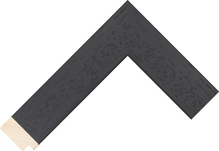
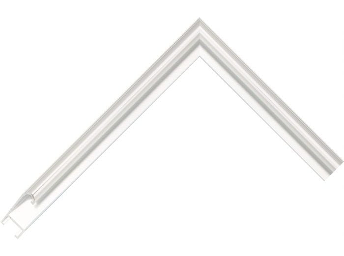
All frames are handmade to your individual order in our framing workshop. If the print comes mounted we use an archival ph neutral white core mount which does not fade over time. We use 2mm UV filtering safety glazing which will protect your print for decades.
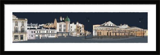
Brighton premier Picture Framer


Delivery and Postage
Local pick up from our Brighton showroom FREE
UK Mainland
Over £160 FREE, or from £3.99 for below £160
Europe £30 Worldwide £55
Please make sure someone is available at the delivery address to sign for all deliveries as without a signature, we will instruct goods not be left for security reasons. Delivery agents will typically make at least 2 attempts to deliver the goods before returning them to the sender. In the event that the delivery agent is unable to locate the delivery address or obtain a signature resulting in the goods being returned to us, we will contact you to arrange payment of further delivery charges.
International delivery and UK Islands Services information