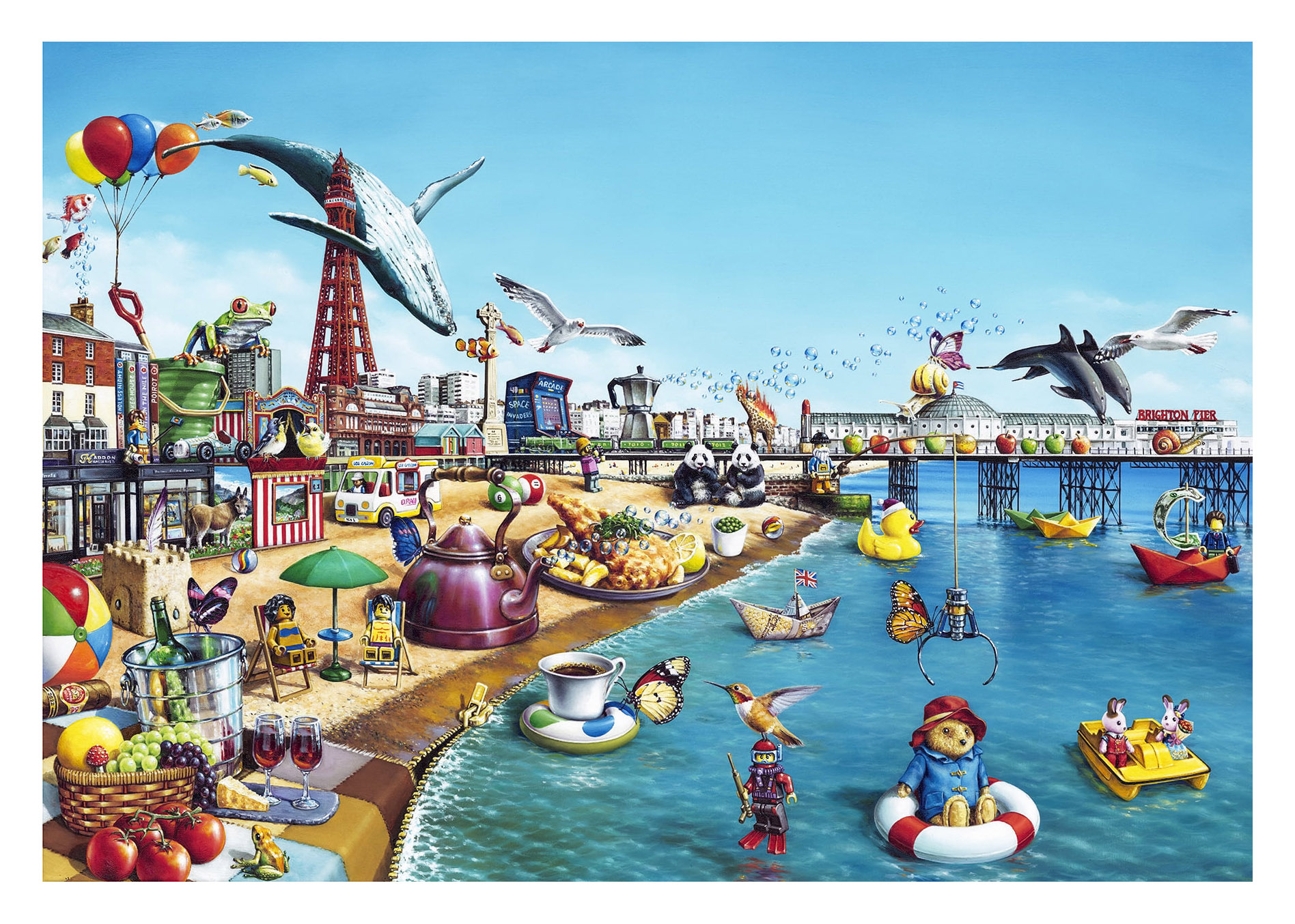
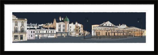
British Seaside by Alberto Martinez
Limited Edition Giclee Print
Edition Size: 95
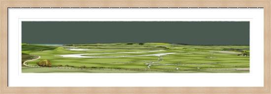
Paper image size: 777mm x 540mm
“When an artwork of mine takes about two months from start to finish, that piece is more than oil colours on a piece of fabric. There’s an intimacy built after weeks of just the two of us. Nights, days together. It witnesses all sort of happenstance going on with me and around me. Like a good friend, it talks back as well. It challenges me. Comforts me. Care for me…
I’m grateful to you for been my companion all this weeks, dear friend. It’s time for you to meet the world and make friends of your own. Hope to see you again in this life…”
Alberto Martinez (El Flaco)
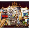
The British seaside is a fascinating to me. Coming from a tropical island I didn’t get its magic for many years. But living for so long in Brighton has been invaluable understanding it. On paper not too much to offer compared with my place of origin. But that’s the wrong approach. It’s a completely different experience in almost all measurements. The way I see it, the seaside is an intrinsic part of British culture. It’s a place where life is calmer. Where the summer is packed with humans coming to the sea as a relief from the hard days of work. Where families go to share time together independently of the temperature of the water or the quality of the sand. It’s an escape from the normal, the built up areas and the clock.
That’s the idea behind this piece. Almost a picture postcard painting where I tried my best to include many well known landmarks from diverse English coastline towns and cities. I wanted to create a wave like movement on the top half of the image, a very busy beach and a calmer, almost relaxing sea area. English cultural elements regarding food, games, literature and the diverse array of characters that come to the beach on a hot summers day take their place in the landscape. They give it life. Complement and interact with the natural elements at the same level.
I’m lucky, I live in Brighton, and I love it. I like sharing it with my fellow townsfolk and visitors alike”
Alberto Martinez (El Flaco)
FRAMING SERVICE All prints are available for our framing service. Each frame is individually made to complement your print perfectly.